


Fell Top Conditions on Tuesday 15 April
Readings from Helvellyn summit at 10:20
Temperature plus 2.8°C Maximum wind speed 5.3mph Wind chill minus 0.4°C Average wind speed 2.6mph Wind direction SW
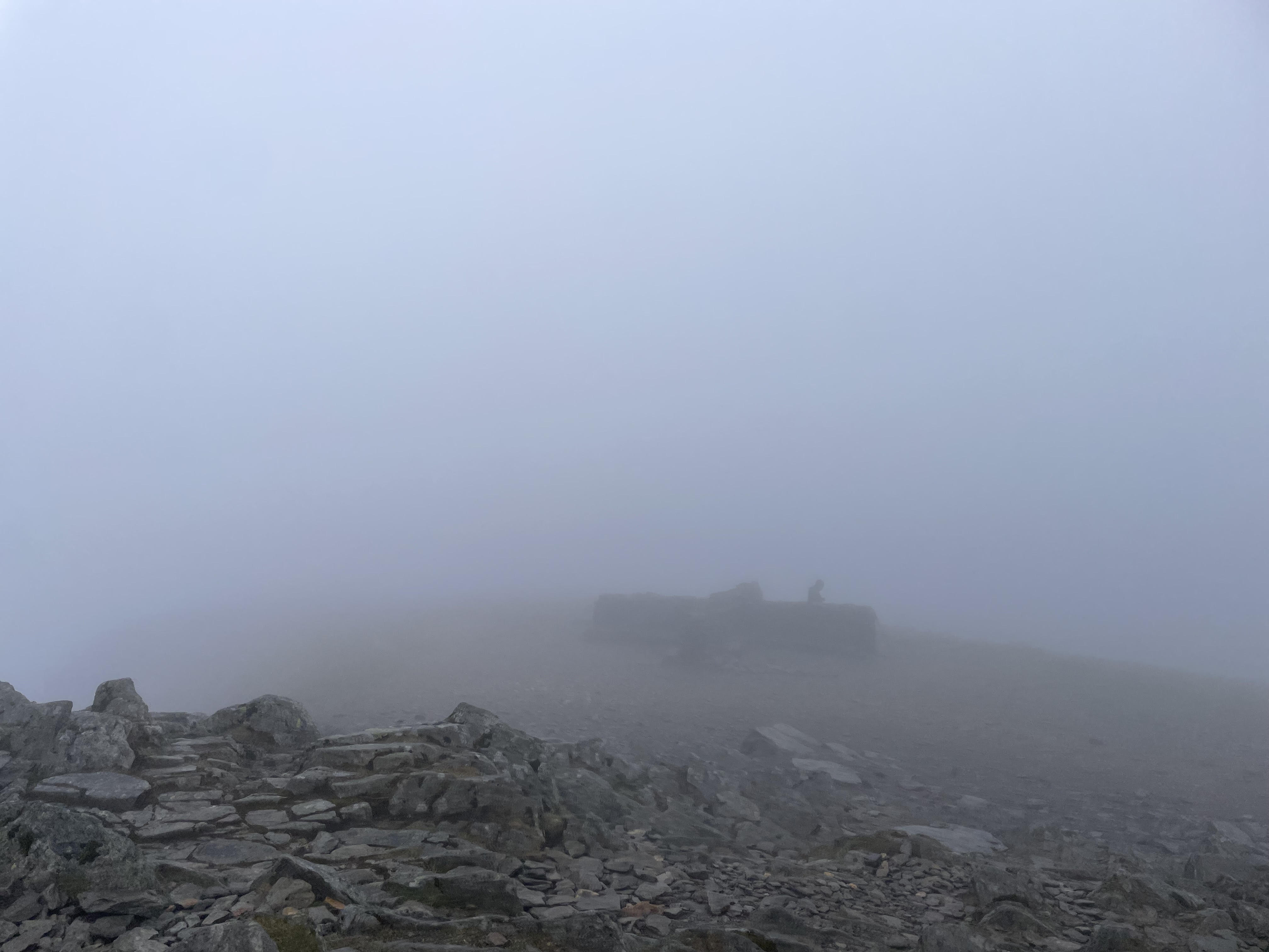
Cooling temperatures, low winds and foggy on Helvellyn today, there was thick cloud above 600m and very light drizzle making for slippery conditions on the edges. Much quieter on the hill today but great to still see some families venturing out.
The return to more variable mountain conditions is a good reminder to have all the essentials packed including water-proofs and warm layers, as well as navigation equipment and the knowledge of how to use it.
Its worth noting that tomorrow its forecasting quite strong northerly winds, a sharp drop in temperatures and some possible sleet/snow above 500m so be fully prepared for a brief return to possible winter conditions.
Lake District weather forecast for Wednesday 16 April
See today's weather conditions on live Lake District webcams
Issued: 15 April at 16:44
Mostly cloudy with outbreaks of rain, some heavy.
Lake District Weather
It will be mostly cloudy with outbreaks of rain, some heavy, and perhaps thundery around the middle of the day. Windy with summit gales possible early and late in the day with a significant wind chill. Occasional drier and brighter spells developing.
Visibility
Occasional or extensive cloud, base 600 to 900m, perhaps breaking towards the summits at times in the afternoon. Visibility moderate to very poor in cloud and rain, but good at times lower down.
Chance of Cloud Free Hill Top
30% becoming 50% for time in the afternoon.
Wednesday's forecast:
| Time | 00:00 - 03:00 | 03:00 - 06:00 | 06:00 - 09:00 | 09:00 - 12:00 | 12:00 - 15:00 | 15:00 - 18:00 |
 |
 |
 |
 |
|
 | |
| Chance of precipitation | 30% | 40% | 60% | 60% | 70% | 70% |
| At Valley | ||||||
| Temp | 9 | 9 | 8 | 9 | 9 | 8 |
| Wind (mph) | 10 | 16 | 11 | 13 | 9 | 10 |
| Max gusts (mph) | 19 | 33 | 27 | 27 | 19 | 21 |
| Wind direction | NE | NE | NE | E | SE | SW |
| At 300m | ||||||
| Temp | 7 | 6 | 6 | 7 | 7 | 6 |
| Wind (mph) | 7 | 13 | 8 | 11 | 9 | 11 |
| Max gusts (mph) | 18 | 30 | 26 | 25 | 21 | 24 |
| Wind direction | NE | NE | NE | E | SE | S |
| At 600m | ||||||
| Temp | 4 | 4 | 4 | 4 | 4 | 4 |
| Wind (mph) | 14 | 20 | 24 | 20 | 17 | 23 |
| Max gusts (mph) | 18 | 27 | 32 | 27 | 23 | 32 |
| Wind direction | NE | NE | NE | E | SE | S |
| At 900m | ||||||
| Temp | 3 | 2 | 2 | 2 | 2 | 2 |
| Wind (mph) | 23 | 30 | 35 | 28 | 20 | 26 |
| Max gusts (mph) | 28 | 37 | 43 | 35 | 26 | 33 |
| Wind direction | NE | NE | NE | E | SE | S |
Daylight
Provided by time.isLake District Forecast for Thursday
Some low cloud and rain overnight. Soon mainly dry and bright with sunny spells during daylight hours and clear skies in the evening. However, there could be the odd shower.
Visibility
Extensive, base 300 to 600m, overnight, soon lifting and breaking above the summits. Visibility moderate to very poor becoming very good or excellent during daylight hours.
Chance of cloud free hill
30% overnight becoming 90% daylight hours.
Wind
West or Southwest 15 to 20mph gusting 30mph.
Temperatures
- Valley: Plus 6 to 12 Celsius
- At 800m: Plus 2 to 6 Celsius
- Freezing level: Near or above the summits.
Outlook for next few days
Friday 18 April
Bright or clear start. Showers developing in the afternoon, then rain in the evening. Fresh to strong east or southeast winds developing.
Saturday 19 April
Cloudy with outbreaks of rain, heavy at times. Strong east or southeast winds at height.
Sunday 20 April
Early rain, then turning brighter with showers, some heavy and perhaps thundery. Moderate to fresh south or southeast winds at height.
An overview of weather in the Lake District
Summer:
The summer season in the Lake District actually runs from March to October. The driest period runs between March and June.
The weather is renowned for changing rapidly and rainfall is a predominant feature. The wettest area in the Lake District is known as Sprinkling Tarn which receives approximately 5000mm of rainfall every year!
Winter:
The wettest months run from October to January.
Snowfall typically falls from November to March. The valleys of the Lake District receive around 20 days of snow and 200 days of rain per year.